Logistics, agriculture, and security are the spheres that benefited the most from the introduction of GPS, one of the IoT technologies. Why so, and what preceded it? Let’s consider several examples.
One of the first industrial GPS trackers, manufactured in the early 2000s and sold in Kyiv, was the size of an ABC book. If I remember correctly, it cost about $600 and was mounted on a truck. It sounds unbelievable, but its functionality was limited to one function – determining its location by sending it via CSD (Circuit Switched Data) or SMS.
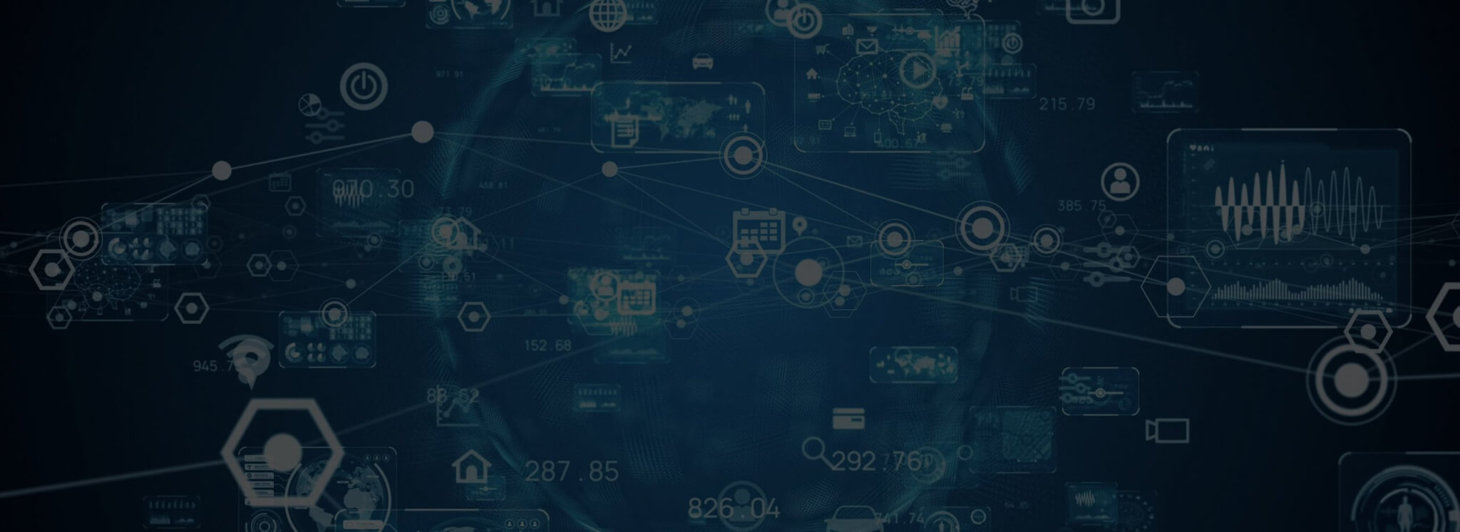
Since then, GPS trackers evolved enormously: they have become much smaller, more accurate, and more reliable. GPS trackers are extensively used in logistics, agriculture, and security. How? This essay explains this by examples.
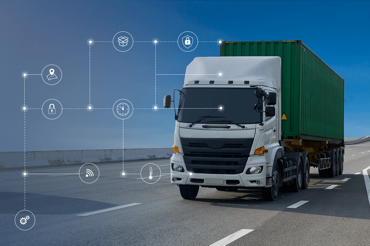
IoT for Logistics Automation: Business Case
GPS Trackers for Logistics
GPS trackers can be used for route optimization in logistics. Alternatively, combined with temperature and fuel sensors, they can provide ubiquitous information about resource consumption.
Smart Consumption of Resources
The installation of trackers on trucks has become systemic. Not only fuel sensors but also temperature sensors are connected to the trackers. A significant step was to connect the tracker to the onboard computer via CAN-bus. This provided additional information, such as engine speed, refueling, fuel consumption, and system errors. At present, there are attempts to automate the process of fuel accounting using fuel sensors. Unfortunately, there are successful cases only the mileage accounting on the GPS without an account of fuel consumption. To do this, it is necessary to integrate GPS systems with accounting systems, such as 1C.
However, if you compare the accuracy of the odometer (speedometer) with GPS data, provided that the car rides more or less on a flat surface, it is almost the same. This is around 5%, in my experience. Usually, the height value (Z-parameter) is not considered when calculating the distance because the vertical error is much higher than the horizontal. If the car drives on mountainous terrain more than 80% of the time, then, as a rule, multiply the mileage of GPS by the coefficient, namely 1.1.
Quote – Open-sky GNSS accuracy with smartphones has often been claimed to be “about 5 meters.”
GPS Trackers for Routes Optimization
So far, we’ve talked about account costs, and now let’s move on to planning. For courier delivery services, it is much more important to plan the route optimally for a day. In mathematics, such planning is called the Travelling Salesman Problem.
How can GPS trackers assist in solving this problem?
If you optimize the route, you can save up to 10% of the time and reduce costs accordingly. What does the tracker need in this case? First, they compare the time of visiting checkpoints (geo zones), monitor the work of drivers online, and adjust their routes as needed. Secondly, the tracker can be not only a separate device but can also be installed on Android devices. Accordingly, the driver who uses the sensor can receive additional points for delivery ‘on the fly’ and, if necessary, adjust the route.
GPS Trackers for Agriculture: Machinery Tracking
Agriculture Machinery Tracking is just one of the applications of GPS in agriculture.
For instance, a heavy tractor can consume up to 1 ton of fuel daily (working around the clock). Accordingly, control of fuel consumption was a priority. Trackers sold in the thousands because the cost of the tracker compared to the cost of fuel saved was a penny.
In the future, the information from the GPS trackers will start to be used in production for automatic verification of work to compare plans with actual results. When the trackers started working almost flawlessly, agronomists also started online monitoring speed modes and ‘downtime’ agricultural machinery. It helped not only to save costs but also significantly increase profits (EBITDA – Earnings before interest, taxes, depreciation, and amortization).
Next, they began to control the working hours of machine operators using RFID cards, the depth of the soil plowing and filling of the hopper of the combine by ultrasonic sensors, and eventually implemented a system of own-unfamiliar to control the transportation of crops.
Precision Farming Systems with GPS
At the same time, precision farming systems were developed as well. The simplest of them is an autopilot, which directs the movement of the tractor on a given trajectory (parallel to the guideline). The result is a reduction in overlaps and gaps, respectively, increasing the efficiency of agricultural production. More complex devices can disable sections on the units. It is also called differential application (mineral fertilizers and seed). But for this to work, you must develop the right task maps.
Not to mention that the accuracy of this method reaches from 2 to 5 cm and depends on the type of signal correction. RTK ground stations transmit it over a GPRS signal (which does not cover all fields), and the previous route can be used one more time, which is a great advantage of the method. The advantage of satellite data is that their signal transmission (a correct location) does not depend on ground stations. In both cases, you have to pay for a high-quality signal.
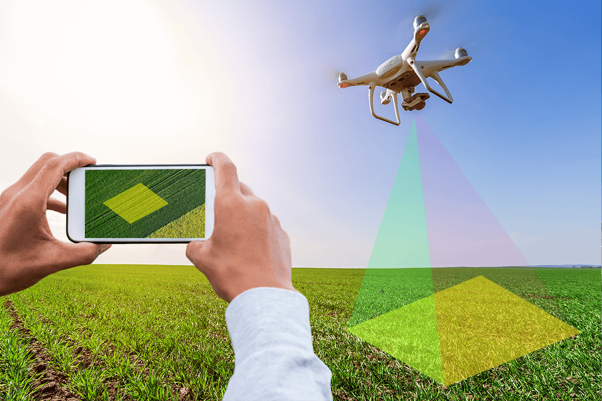
Drones in Agriculture
And last but not least, I would like to mention drones. I bet you couldn’t imagine modern life without them. They also navigate in space thanks to the GPS signal. Therefore, it is no coincidence that the most profitable service drones provide is field measurement. Drones also can check the condition of crops. Besides, due to special programs that use Artificial Intelligence (AI), agronomists can detect plant diseases and pests timely. Some drones can also work as sprayers, applying chemical solutions to the field. However, drones have such limitations as short flight time, dependence on weather conditions, and significant information processing time on servers. In addition, to operate a drone, you need to undergo certain training.
GPS Trackers for Security: Asset Tracking & Finding Stolen Objects
In parallel with the GPS trackers, which connect to the regular power supply of vehicles, a line of autonomous trackers, the so-called “beetles,” was developed. There are even models that are called Cicada. The tracker spends most of the time in sleep mode and communicates on schedule. It determines its location when needed, transmits it, and ‘falls asleep’ again. No grabber can find it!
In addition to the coordinates, the tracker can also transmit the base station number. This feature is especially useful when the stolen car is in the garage, where a satellite signal is absent. The last type of coordinate determination is also called LBS coordinates. According to a similar principle, mobile operators (GSM) determine the location of phones. The difference is that the phone does not transmit the base station number because the network already knows which station currently serves the subscriber. Compared to GPS, the accuracy of this method is not very high (over 500 meters), but it is enough for police to identify robbers if the car was stolen.
Casually, the autonomous operation of trackers, depending on the settings, namely the data transmission period, can be several years. Here we come to the next step, where IoT technology (Internet-of-Things) originates. Of course, it was the demand for energy-saving appliances that gave it an impact on their development.
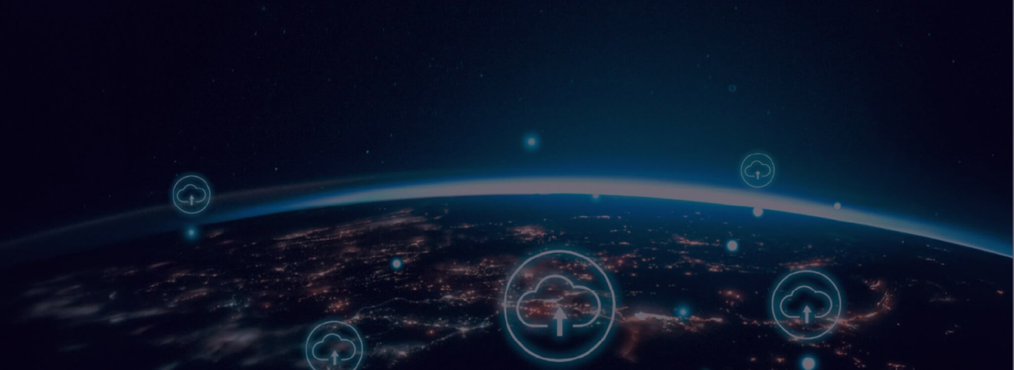
The Future of IoT
I believe IoT devices will create another breakthrough in society. They will be everywhere. Those that are autonomous will control air pollution, river levels (to prevent floods), soil moisture (for automatic irrigation), and much more. Those devices that run on power will make cities smarter: smart lighting, smart parking, garbage collection control, and so on.
Of course, each of the IoT technologies will take its place. LoRaWAN will be more common in rural areas and NB-IoT in urban areas. Also, there are hybrid solutions for recharging the battery. IoT trackers can also determine your location by BLE tags (Bluetooth Low Energy). If it is in a hospital, each room should have BLE tags, which the tracker reads. The number of BLE tags determines the number of the room. It is very convenient for the medical staff. Additionally, the tracker can work as an SOS button. In this case, it is convenient for patients.
Final Word
New location methods will appear together with the development of technology. It is difficult to predict in what other areas they will be indispensable. The demand for trackers is inevitable and will continue growing.