With help from Softengi, Intecracy Lab developed an interactive system for the real-time gathering of information from a variety of sources (mobile terminals, telephone calls, SMS, web, etc.) – Megapolis.SocialPoll. Today’s topic is the Meter Reading System.
Our customer, a water utility, was in need of an automated system that would allow its inspectors to easily read meters installed around the city by means of mobile devices, manage the gathered information, and keep it centrally. So, the Softengi team used Megapolis.SocialPoll, as the basis for the new solution, customized and extended its functionality to fit the customer’s requirements and needs.
Challenges
The customer required a Meter Reading System that would help to:
- Conduct meter readings using mobile devices;
- Keep the records of meter reading results;
- Visualize, analyze, and manage the information gathered.
Softengi Team Contribution
The Meter Reading System developed by Softengi consisted of two parts: the mobile applications and the server side.

Details About Mobile Applications:
- Developed for different mobile operating systems – both iOS and Android. To save a lot of time and make applications as similar as possible, the Softengi developers used the Apache Cordova framework (formerly known as PhoneGap);
- Allowed their users to easily read meters and collect information about the course of the field data collection;
- Applications allowed taking pictures of the utility meters for photo reporting;
- All data collected by means of mobile applications were structured and transferred to the central server to be stored, processed, and analyzed;
- Whenever Internet access was available, applications automatically (or manually) synchronized with the central server to ensure the data transfer;
- Embedded facilities for viewing statistics on the sent data and forms.
Details About the Server Side:
- Intended to preserve, process, and analyze the structured information received from the mobile applications;
- Users were granted different roles that defined their access to the system functions;
- The system kept the user entry/exit register, so it was possible to view information about the date and time of the user’s logging into the system and logging out of it, as well as the user’s login and IP address;
- The server-side interface looked like an ordinary web page that contained a bar of links to other related pages, buttons, switches, and all of the tools needed. The bar looked different depending on the role assigned to the user;
- In fact, the server side was a set of registers (i.e., registry of forms, registry of subscribers, passports of subscribers, registry of inspectors, etc.) kept in one place. Records of these registers could be created, edited, deleted, filtered according to the set parameters, exported to Excel or Word files, and printed out. All records were sorted automatically;
- Every form contained the data on the subscriber’s name, personal account, consumer’s code, meter readings, loading date, picture of the utility meter, and a link to the subscriber’s passport;
- The registry of forms stored the following information: subscriber, consumer, date and time of completing the form, date of receiving the form, utility meter value, inspector’s name, date of meter reading, picture of the utility meter, and its coordinates. All forms within the registry of forms could be filtered by survey date, form receipt date, meter reading date, inspector’s name, user code, subscriber, pictures, or coordinates, and exported to Excel or Word files and printed out.
- The system kept the history of the subscriber assignments for each inspector;
- The “Map” menu item exploited the GIS interface and allowed users to view the saved forms on several types of maps (e.g., a map of a city, a region, or a country). The system supported different map layers to display various types of objects, used time markers, supported different geodata formats, and displayed the object descriptions;
- All saved forms were positioned on the map based on the coordinates individually set for each form and shown to users differently, depending on their information access rights. It was also possible to search for addresses with their further positioning on the map. The address search was performed by sending a request to the Google Maps Geocoding API.
Conclusion
The Meter Reading System was a comprehensive information-analytical system for data collection and processing. It was successfully used by the water utility of one of the country’s biggest cities. Owing to its variety of functions and the technology it is based on, the system can be customized to be employed in other industries.
PEOPLE ALSO READ
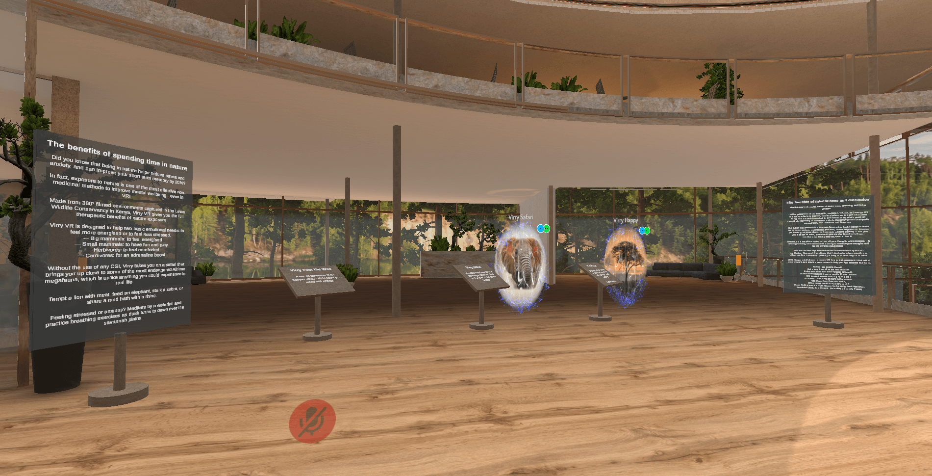
Mental Well-Being Clinic for Virryhealth
Softengi developed a virtual clinic with interactive and non-interactive activities where visitors could schedule therapy sessions with medical experts and visit a VR chat in the metaverse to interact with the amazing nature and animals of the African savanna.

AI-Based Visual Inspection Case Study
Explore how businesses improve production control quality with Ionbond – an automated visual inspection, classification, and anomaly detection solution.

WhTech-WMS: Warehouse Management Software
With WhTech-WMS you can manage access and always know the location of your assets. It allows you to create custom reports and keep an eye on real-time alerts due to crashes or emergencies which gives you the opportunity to always monitor and understand the status of your equipment.